Get Involved: Join Us
Queen Anne Greenways meets monthly on the second Tuesday at 6:30 pm at Hilltop Ale House (2129 Queen Anne Ave. N). We usually find a spot in the back room.
No RSVP is needed, but we would appreciate an email to mark@markspitzerdesigns.com. There is no cost to attend. You do not need to be an existing member. All are welcome.
Our upcoming meetings for 2023 are:
- October 17
- November 21
- December 19
All meetings subject to time and location change. Please email us to confirm.
2023 Queen Anne Greenways Playstreets

After a major pause for Covid, the Queen Anne Greenways Playstreets geared up again for two events, one in July and another in August. At our own booth we introduced people to our ideas and plans for making streets more available and friendly for people, particularly families with children.
We worked, once again, with our stalwart collaboration partners, Matt Kelly, director of the Queen Anne Farmers Market and Gina Saxby, director of the Queen Anne Community Center. Both organizations brought their energy and staff support that greatly enhance our efforts.

The Farmers Market provides a summertime fresh food resource on Thursdays, drawing a crowd that includes many families with kids.

The Community Center moves its collection of kids toys and games out of the building. It staffs a booth with activities like beadwork, but also makes people aware of its year-long indoor programs and events.
We also like to include other community organizations and this year we had a couple of previous participants return to add their energy.

Christiane Woten of the QA branch of the Seattle Public Library brought stories and crafts, particularly fun for the kids who enjoyed quieter activities and conversation.

Josh Williams of Blue Highway Games, staffed a booth with both board games and physical challenges like Jenga blocks, that appeal to adults as well as children, and especially to those families that enjoy playing games together.

Or, as is sometimes the case, games appealed to adults and children separately – whatever works !

At the QA Community Center end of things there was also a variety of choices.
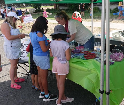
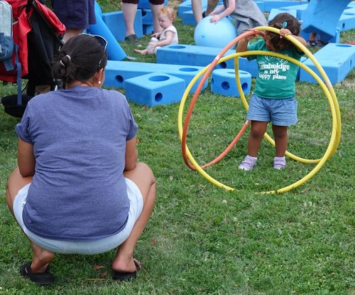
Here, Gina reveals some bead-making secrets to a rapt audience. Nearby, more of a do-it-yourself spirit drives the big blue blocks collection, only loosely supervised.

Of course, some explorers preferred to go it alone.
And out in the wide open street a few prospective race car drivers tested their skills.

The Rules of the Road were not entirely clear; but occasionally there was assistance, especially with driving between the lines.

At a bit more cerebral level, checkers offered a challenge.
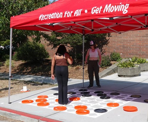
The players had invented their own version, in which the checkers could only be moved with your feet. It added a dimension to the game we hadn’t seen coming.
Surrounding all of these fun and games, the music of Mud Junket Band helped everyone transition into a quieter – and cooler – part of the day with their energetic jazz.

Some took it in up close.
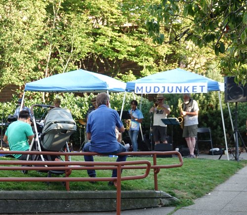
Others just sought out some shade and quiet time to enjoy the music from a distance.

Still others chose more secluded space with shade to enjoy dinner that they had purchased from the Farmers Market and its gathering of food trucks.
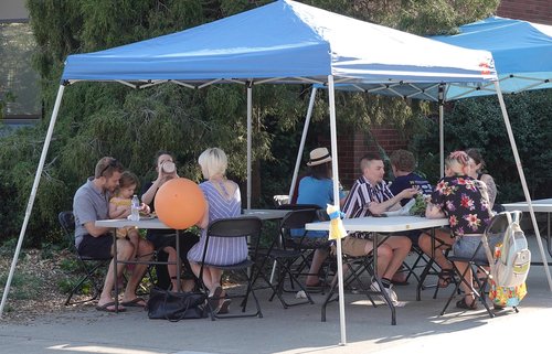
A good community gathering, made possible by QA Greenways, QA Farmers Market, QA Community Center and a group of local organizations who support us. Thanks you !

Our Active Projects (2023)
- Playstreets
- Aurora Reimagined Coalition
- Queen Anne Superblock